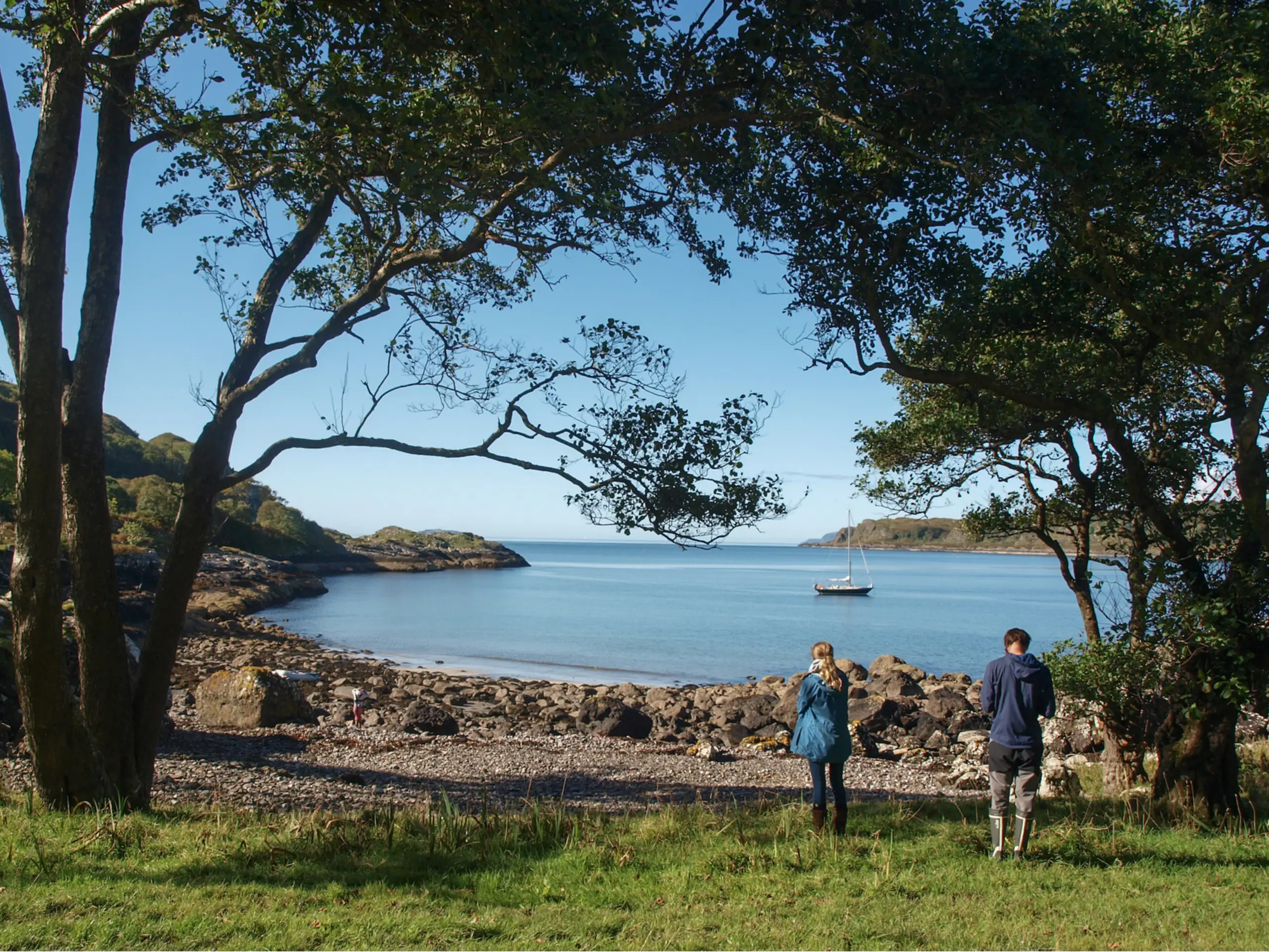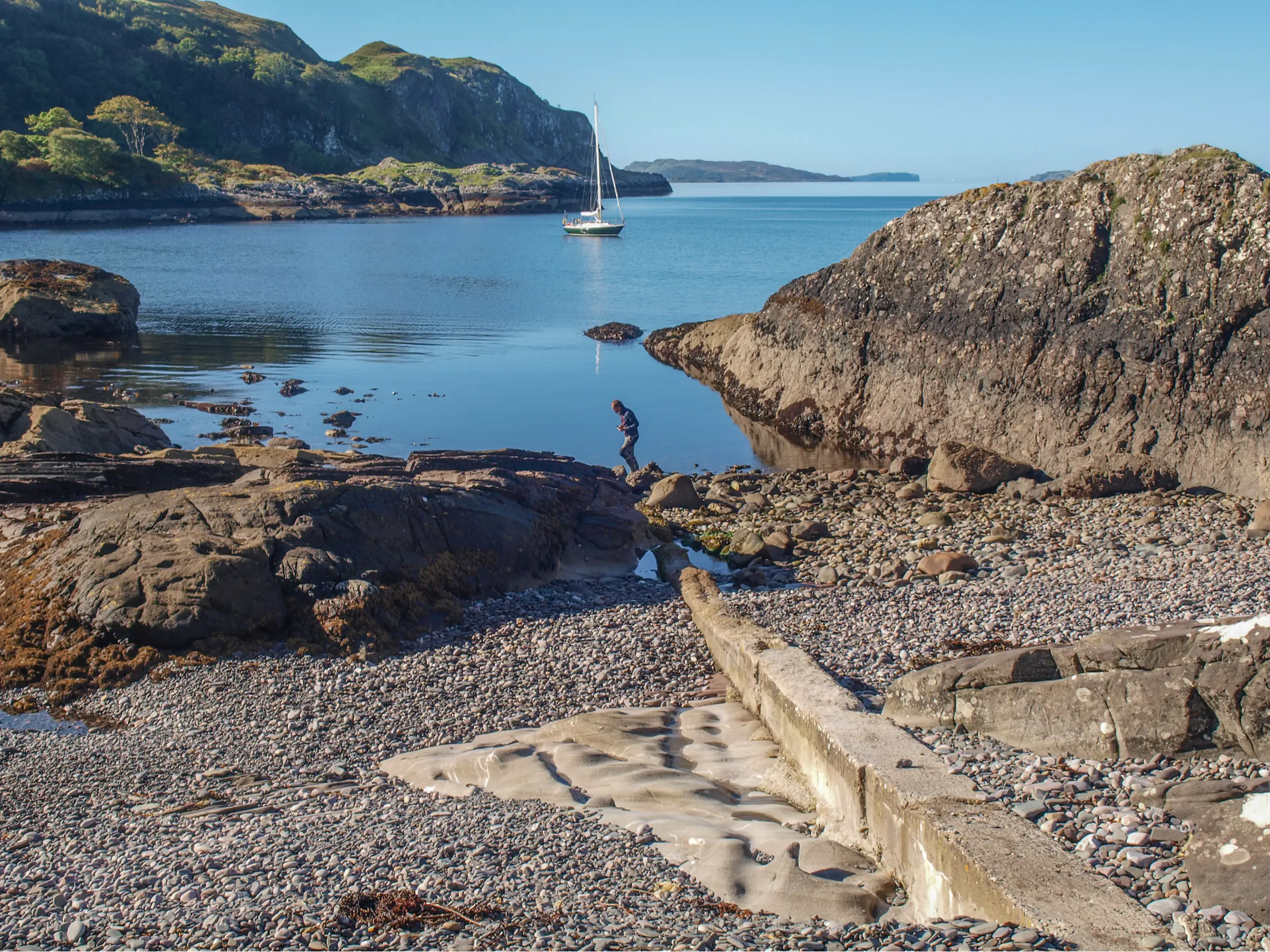
This is not in the Sailing Directions (but is on an Antares chart). Be careful not to stray into the adjacent Port Làthaich where submarine cables are marked on the chart. Instead, aim for Port Cuthaich which provides a very pretty anchorage on sand, obviously only in the right weather conditions — not in a south-westerly gale where the translation from the Gaelic of 'Port Madness' seems rather apt. And watch out for swell which can be a bit unexpected. And a warning, beware there is some sort of mooring rope on the seabed fairly near the shore.
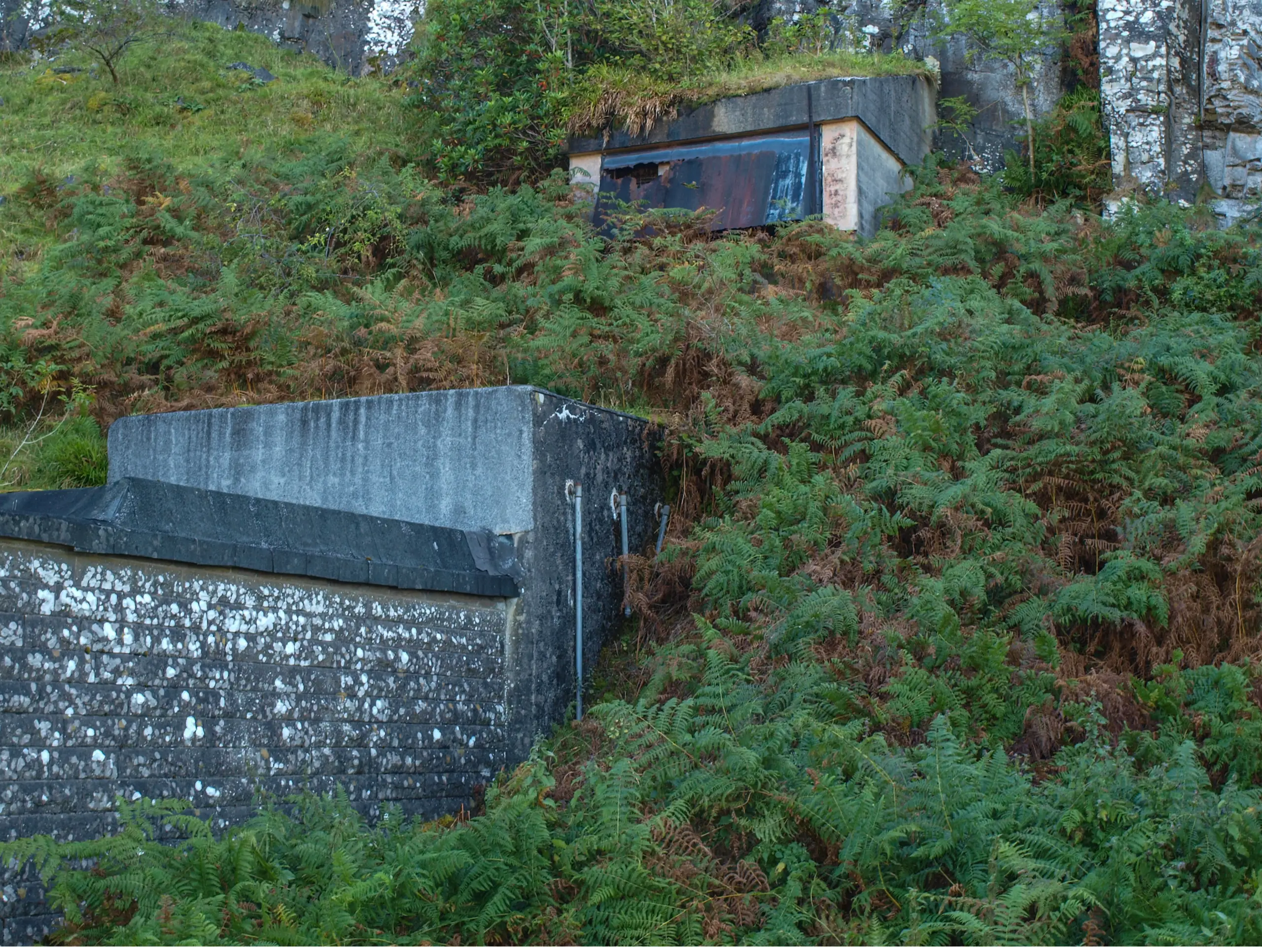
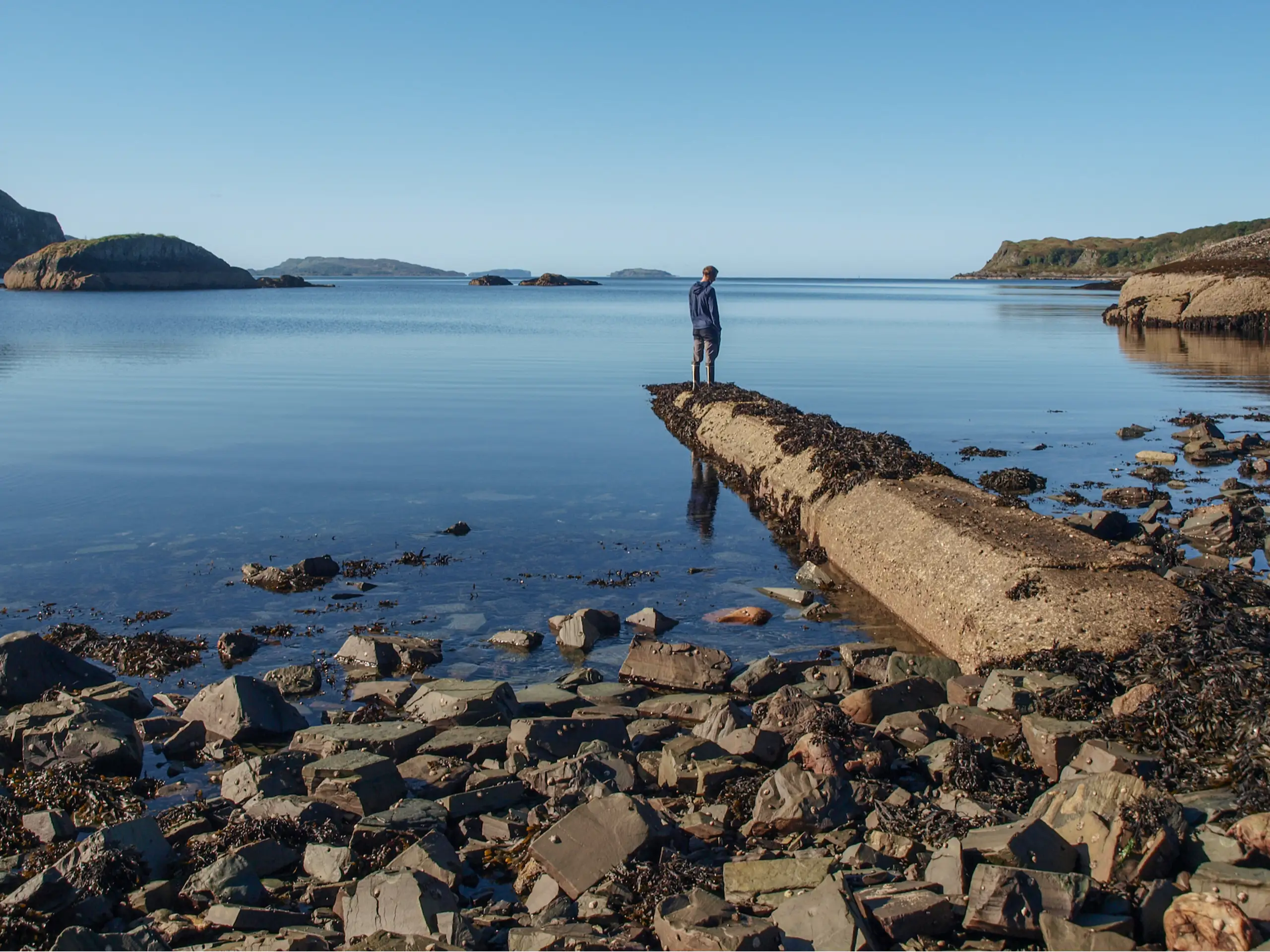
Looking southwest to where the horizon is open to the Atlantic, where better to bring ashore the first transatlantic telephone cable — allowing 35 simultaneous voice calls, quite a lot at the time. The cable was laid over the Atlantic seabed to Newfoundland in 1956, and remained in use until 1978, a rather short time considering the cost and effort involved. It was a remarkable technological triumph of its day, now all but forgotten. The cables are long gone (there is a small section in the Oban War and Peace Museum), but the remains of the concrete pipes which enclosed them can still be seen at low tide. Of the three cables on the chart, only the concrete pipe for the one to the northwest is intact, the other two have been broken up but are still visible. Presumably one pipe housed the cable to Newfoundland, and another the cable from Newfoundland. But what about the third? There is yet another concrete pipe a bit further to the southwest, but what was that for? On the shore is the flat-roofed and ugly derelict terminal building (apparently full of asbestos), and behind it the closed-off tunnels which took the cables through the cliff.
For a while in the Cold War this very cable was used as part of the hot-line between the USA and the Soviet Union. And you can hear a recording of a stilted and no doubt scripted phone chat between the Canadian Prime Minister and the Queen back in 1961.